- Sorry, this product cannot be purchased.
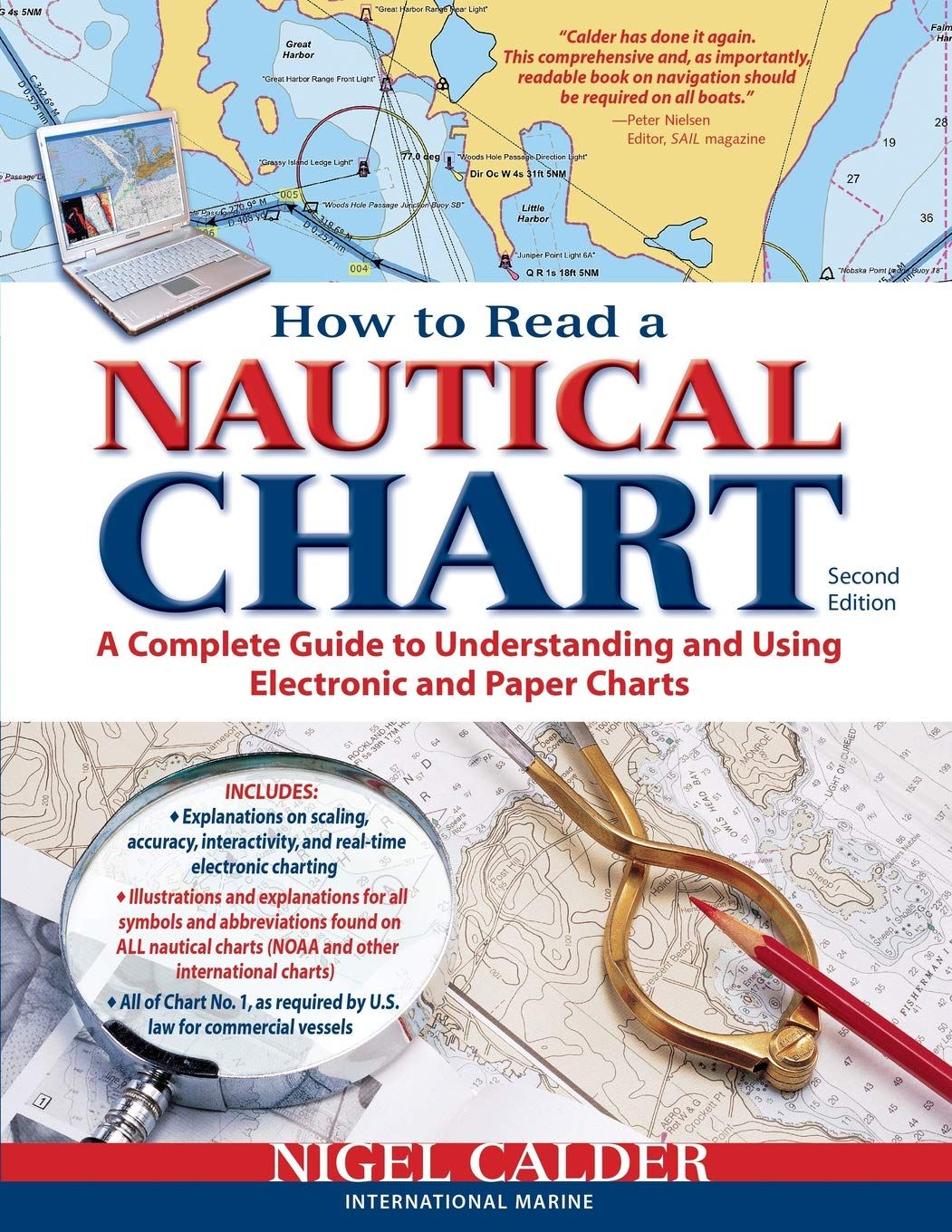
How to Read a Nautical Chart, 2nd Edition
$21.00
Sailing novice or expert, keeping your navigation skills honed is vital to your sailing pleasure and safety. Modern electronics provide easy and quick access to more data but to get the most out of the information you need to understand the underlying foundation of the charts. And the hundreds of symbols found on each.
Nigel Calders How to Read a Nautical Chart is your indispensable handbook to understanding and using electronic and paper charts. From easy-to-read discussions and background on how charts are created to a detailed reference guide on the vast array of symbols found on charts, old and new.
Included in How to Read a Nautical Chart are:
-Explanations on why GPS readings can be inaccurate.
-Reviews of how waters are surveyed and how old data still impacts modern charts.
-The impact of new items appearing on charts such as tides and currents, aerial and sea-level photographs, user-generated information and more.
-A complete and detailed reference guide to all of the symbols you’ll encounter on any chart – Dots, dashes. Italics, parentheses. Vertical type. Colors. They’re all explained.
For anyone looking for a thorough understanding of the power (and limits) of today’s navigation paper and electronic charts, How to Read a Nautical Chart is essential reading. Calder’s perspective and wisdom will give you a deep insight into chart-making and navigation. With this knowledge, you’re guaranteed to be a better and safer sailor.
Out of stock
Want to be notified when this product is back in stock?


