Chandlery: August 2011
Practical Sailor Chandlery: August 2011. This month reviews a tiller, tool toter, and smart-phones.
Route-planning Software Review
Practical Sailor editors evaluated Digital Waves Visual Passage Planner software, which is based on the U.S. Pilot Charts and lets users plan a voyage based on historical weather patterns. Testers used the software to recreate the 1888 historical passage by Joseph Conrad. Conrads passage from Bangkok to Singapore, aboard the iron barque Otago, took an excruciating 21 days. By plugging in waypoints, location and time of year, testers were able to see wind, current, sea state, water temperature, and air temperature along Conrads route. Visual Passage Planner showed the average wind speed and direction, as well as the number of days of calm, for the area and time of year. The software is an interesting tool for passage planning, but because it uses historical rather than real-time data, it shouldnt be compared to true weather-routing software like the weather-routing module from MaxSea, which uses a boats polar data to evaluate real-time routing.
Marine Electronics: Build an Inexpensive Wireless Network
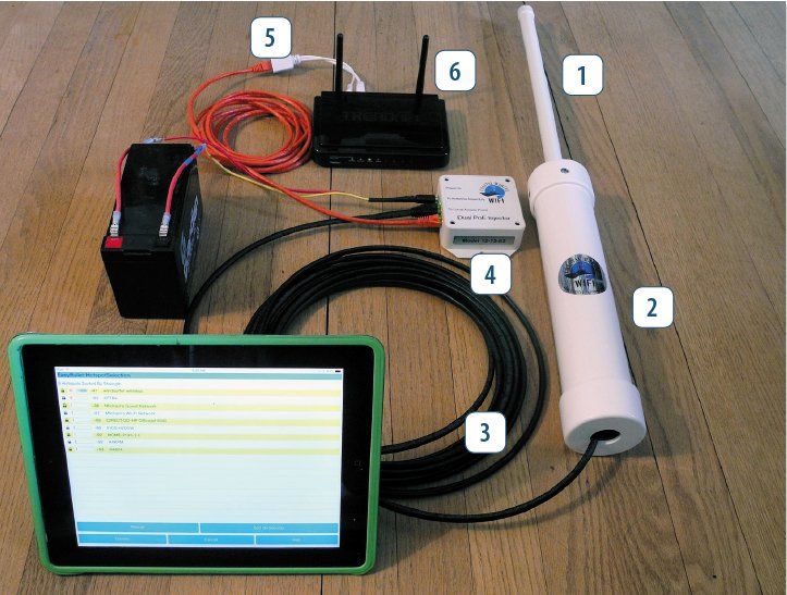
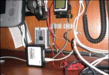
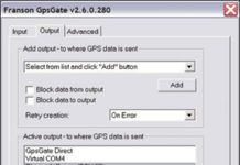
Practical Sailor contributor and bluewater cruiser Joe Minick details the benefits of an onboard Wi-Fi computer network on a cruising boat, and explains the easy DIY setup that connects multiple electronics to the Internet via a client router. Beyond the usual benefits, one that is particularly useful to sailors is that an onboard network allows networked devices to share GPS, NMEA instrument information and other navigation data using software like GPSGate from Franson Technology and Handheld for Mariners. Minick used the Engenius EOC2610 from Keenan Systems and the D-Link DWL G700AP in his setup, which has served his crew well as they cruise the Med. The ethernet-based system is similar to the the Bullit2 systems PS tested from Bitstorm and Wave Wi-Fi.
Mailport: July 2010
Letters to the editors of Practical Sailor in July 2010 include questions and comments about mildew, galley blenders, teak cleaners, online captains courses and personal hydration.
Details Distinguish the Best Wi-Fi Antenna for a Sailboat
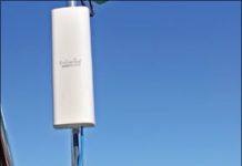
Practical Sailor looked at three Wi-Fi antennas suggested by readers: the Bad Boy Xtreme from Bitstorm, Rogue Waves Wave Wi-Fi from GeoSat Solutions, and The Wirie, developed by cruising couple Mark Kilty and Liesbet Collaert. All three are marketed specifically to boaters, and they represent the two principal types of devices that users will find: USB-type units that plug into computer or laptop USB ports and Power over Ethernet (PoE) bridges that network via your computers Ethernet port to provide a pathway to the Internet.
Multiplexing Marine Electronics
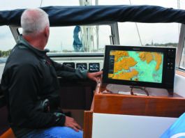
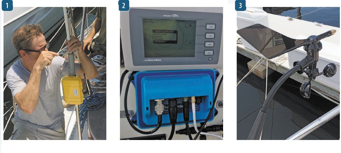
In an effort to find an inexpensive, reliable way to connect a PC (or Mac) to our onboard electronic navigation system, Practical Sailor testers scouted basic NMEA 0183 multiplexers with good track records. We zeroed in on the easy-to-install MiniPlex Lite from Holland-based ShipModul. This multiplexer was one of the first high-speed NMEA 0183 multiplexers capable of handling the data rates required for some of the newer electronics like AIS receivers. With very little effort, the Mini Plex Lite allowed us to network our Dell Latitude D620 laptop, AIS, GPS, and chartplotter, and it handled the data transfer without a glitch. Our chief gripe: This entry-level model uses the laptop for its power source.
Mariner Resources on the Web
Practical Sailor’s roundup of practical boater websites covers all topics related to sailing, boat owning, and boat maintaining. From weather forecasting and navigation sites to boat-owners’ groups and social networking sites, these links to online sailing resources are editors’ and readers’ top picks from the world wide web.
GPS Receivers for Smart Phone Navigators
During our testing of pocket navigators for the December 2009 issue, we examined other approaches to propagating a GPS signal around the boat and found some viable alternatives. Several aftermarket options can turn smart phones or PDAs into handheld navigation tools by supplying or sharing reliable GPS data. Practical Sailor looked at a Bluetooth-enabled Globalsat BT-338 GPS receiver with the SiRFStarIII chipset and Franson Technology’s GPSGate software for Windows and Windows Mobile, which was designed specifically for the task of sharing GPS data. Testers found both utilities to be good choices for the job, however, we still caution against relying solely on a PC-based navigation network onboard.
Looking to Boost Your Onboard Computers Internet Connection?
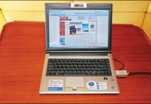
Internet access onboard is increasingly popular but achieving a reliable wireless connection can be difficult in a marina or on the water. A laptop with a built-in Wi-Fi system is a common starting point, but marinas can be a difficult place for low-power, high-frequency radio signals. Practical Sailor tested 5MileWi-Fi, a system that utilizes an external antenna to extend the Wi-Fi range beyond that of normal Wifi devices.
EarthNC Software
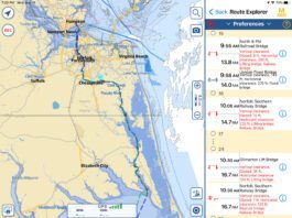
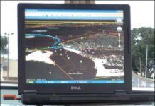
On a recent boat delivery from Michigan to Florida, I had the opportunity to try out some new computer-based planning software from EarthNC. EarthNC uses Google Earth images to present marine chart data by overlaying the charts on Google Earth satellite images. For $50, EarthNC provided 757 vector-format charts (raster format charts and other packages are also available) for the continental U.S., Alaska, Hawaii, and parts of the Caribbean. These charts can be used online or offline. When combined with a USB-connected GPS-and the ooPs (www.goopstechnologies.com) GPS software for Google Earth-EarthNC provides a real-time, moving map experience similar to modern chartplotters. EarthNC also has automatically updating weather maps with data supplied by NOAA.


